
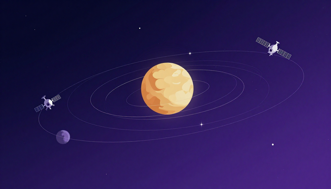
The Signal Problem That Won't Go Away
Here's the thing about GPS that most people never think about: your phone is basically shouting into a void up there. The satellites are 20,200 kilometers overhead, and by the time their signals reach you, they're weaker than a Wi-Fi router in the next room. We've accepted this as normal. Your car navigation stutters in downtown canyons. Your phone loses lock under heavy tree cover. Drones drop out of the sky when the signal gets too thin.
It's not a bug, exactly. It's just physics. Those Medium Earth Orbit satellites have to push their signals across hundreds of thousands of kilometers, and the inverse square law doesn't care about your deadline.
But what if you put navigation satellites much closer? Like, 500 to 2,000 kilometers close instead of 20,200? That's the question keeping aerospace engineers up at night right now, and the answer might be exactly what we need to fix GPS's oldest problem.
Why Low Earth Orbit Changes Everything
The math is brutal but simple. Signal strength drops with the square of distance. GPS satellites at 20,200 km are roughly ten times farther away than LEO satellites at 2,000 km. Ten squared is one hundred. So a LEO navigation satellite with the same transmitter power delivers roughly 100 times stronger signal at your receiver.
That's not a marginal improvement. That's the difference between your phone finding four satellites in an urban canyon and finding forty.
The concept isn't new. Engineers have been talking about LEO navigation payloads for over a decade. But until recently, the economics didn't work. You'd need dozens of satellites just to maintain continuous coverage, and launching them was expensive. Now? We've got reusable rockets and megaconstellation business models that make the math look completely different.
The Megaconstellation Advantage
Here's where it gets interesting. Companies like SpaceX and Amazon aren't just building internet constellations anymore. They're quietly adding navigation payloads to their satellite fleets. SpaceX's Starlink v2 satellites already carry experimental navigation transponders. Amazon's Project Kuiper is designing similar capabilities into its architecture from the ground up.
The beauty of this approach is that you're not building a separate navigation system from scratch. You're piggybacking on infrastructure that's already getting launched. The marginal cost of adding a navigation payload to an internet satellite is a fraction of building dedicated navigation satellites.
But there's a catch. LEO satellites move fast. Really fast. At 7 kilometers per second, they zip across the sky in minutes instead of hanging overhead for half a day like GPS satellites. That means your receiver has to track handoffs between satellites constantly. The software has to be smarter, faster, more resilient.
Urban Canyons and Signal Jamming
The real promise here isn't just better accuracy in open sky. It's about places where GPS currently fails. Urban environments with tall buildings create signal reflections that confuse receivers. That's why your phone sometimes thinks you're in the building next door instead of inside it.
With 100 times stronger signals, LEO navigation could punch through those reflections. Your receiver would see the direct signal so much more clearly than the bounced ones that multipath errors become manageable instead of catastrophic.
Then there's the security angle. GPS signals are notoriously easy to jam. A $50 device from a Chinese electronics store can blank out GPS receivers across an entire city block. That's a problem for everything from autonomous vehicles to military operations.
Stronger signals make jamming harder. Much harder. You'd need significantly more power to overwhelm a signal that's already 100 times stronger at the receiver. That doesn't make navigation immune to interference, but it raises the bar considerably.
The Coverage Challenge
Here's where LEO navigation gets complicated. GPS works with 24 to 32 satellites because they're far away and move slowly relative to the ground. LEO satellites zip by so fast that you need many more of them to maintain continuous global coverage.
Estimates vary, but most studies suggest you'd need between 150 and 300 satellites for a basic LEO navigation constellation. That's not impossible, especially with the launch costs we're seeing now. But it's a commitment. You can't just launch ten satellites and call it done.
There's also the issue of orbital decay. LEO satellites experience atmospheric drag, however thin that atmosphere is up there. They need periodic boosts to maintain their orbits, which means more fuel, more maintenance, and more complexity.
What This Means for Navigation Users
If you're reading this and thinking "great, another navigation system to worry about," relax. The goal isn't to replace GPS. It's to complement it.
Your phone would see more satellites, period. More satellites means better geometry, which means better accuracy. We're talking about centimeter-level positioning in urban environments instead of the current five-to-ten-meter accuracy that degrades further when signals get weak.
For autonomous vehicles, this could be transformative. Right now, self-driving cars need expensive LiDAR and camera systems to compensate for GPS limitations. Better navigation signals could reduce that dependency, potentially lowering the cost of autonomous systems significantly.
Aviation gets interesting too. Approach and landing systems could become more robust, especially in remote areas where ground-based augmentation is expensive or impractical.
The Timeline Question
Don't expect this to happen overnight. Even if SpaceX or Amazon decides to fully deploy navigation payloads across their constellations, it'll take years. Satellite manufacturing at scale takes time. Regulatory approval for navigation frequencies is another hurdle. And receivers need to be designed and deployed.
But the trajectory is clear. The technology works in principle. The economics are improving rapidly. And the demand for better navigation is only growing.
The question isn't whether LEO navigation will happen. It's when, and who gets there first.
The Bigger Picture
This isn't just about your phone finding the nearest coffee shop faster. Reliable, precise navigation underpins everything from supply chain logistics to disaster response to precision agriculture.
Right now, we're dependent on a system designed in the 1970s with 1980s technology. It's worked remarkably well, but it was never designed for the world we live in now. A world where billions of devices need positioning, where autonomous systems can't afford to lose lock, where security matters as much as accuracy.
LEO navigation satellites might be the upgrade we've been waiting for. Not a replacement, but an enhancement that makes navigation work everywhere instead of just in ideal conditions.
The signal strength advantage is real. The engineering challenges are significant but surmountable. And the potential benefits touch almost every aspect of modern life that depends on knowing where you are.
We're standing at the edge of a navigation revolution. It's just a matter of time before it arrives.
Source: Ars Technica - Move Over GPS: Navigation Satellites in Low Earth Orbit Are Making a Comeback
Related Reading: NASA Inspector General: Starliner Certification Delayed to 2027 — A Decade Behind Schedule